Datasets
57 datasets published by the City of Newton on its ArcGIS Hub.
57 results
 Points
Transportation
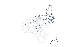
Blue Bike Stations
Stations of the BlueBike bike share network. Data from Commonwealth of Massachusetts and Boston GIS
 Areas
Environment
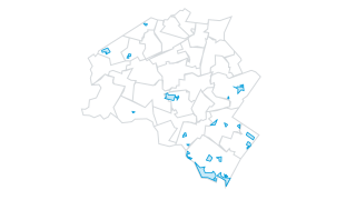
Wetland Restrictions
This data layer shows all areas in the City of Newton that are registered with the Commonwealth of Massachusetts under the Inland Wetlands Restriction Act (M.G.L. c. 131, § 40A.) The restrictive orders for these wetlands have been recorded
 Areas
Boundaries & Demographics
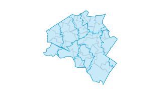
Zip Codes
Zip Codes, City of Newton, Massachusetts. While zip codes do not always correspond to exact geographic areas, this is an accurate description of the location of Newton's zip codes.
 Areas
City Services
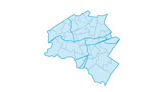
Inspection Districts
Inspection Districts, City of Newton, Massachusetts
 Lines
Transportation
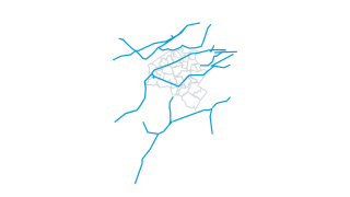
Railroads
The layer includes active passenger, freight, and MBTA Commuter Rail and Rapid Transit railways, along with abandoned rail lines. In many instances there is more than one track per rail line, and rail yards and spurs are included. The Centr
 Areas
City Services
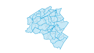
Garbage Routes
Trash and recycling collection routes - City of Newton, MA
 Areas
Transportation
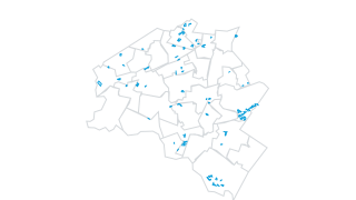
Parking Lots
Parking lots- City of Newton, MA
 Areas
Environment
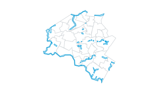
Rivers Protection Act Areas
Areas Subject to the Massachusetts Rivers Protection Act - Newton, Massachusetts
 Points
Public Safety
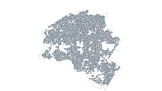
Fire Hydrants
Fire Hydrants, City of Newton, Massachusetts
 Areas
Boundaries & Demographics
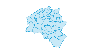
Wards & Precincts - City of Newton
This data layer contains the boundaries of Newton’s election wards and precincts. Each ward consists of four precincts. The layer has polygon with fields to indicate Ward, Precinct and State Representative District.
 Areas
Environment
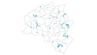
Floodplains
Floodplains in Newton, Massachusetts. The floodplains support Newton's Floodplain Ordinance of 2010. The ordinance defines floodways as the 100 year floodplain as defined in FEMA's Flood Insurance Rate (FIRM) Maps. These correspond to Zone
 Areas
Boundaries & Demographics
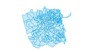
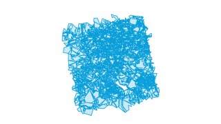
Census 2020 Block Groups
Census geographic areas are used by the Census Bureau to collect, tabulate, and aggregate decennial census data, and are also used in more frequent demographics reports like the annual American Community Survey (ACS). Three levels of areal
 Areas
Boundaries & Demographics
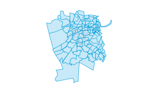
Census 2020 Blocks
Census geographic areas are used by the Census Bureau to collect, tabulate, and aggregate decennial census data, and are also used in more frequent demographics reports like the annual American Community Survey (ACS). Three levels of areal
 Areas
Boundaries & Demographics
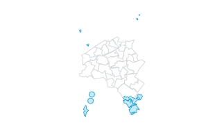
Census 2020 Tracts
Census geographic areas are used by the Census Bureau to collect, tabulate, and aggregate decennial census data, and are also used in more frequent demographics reports like the annual American Community Survey (ACS). Three levels of areal
 Areas
Environment
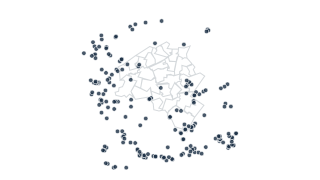
Priority Habitats of Rare Species
Habitat of state-listed rare species in Massachusetts based on observations documented within the last 25 years in the database of the Natural Heritage & Endangered Species Program (NHESP).
 Points
Environment
NHESP Potential Vernal Pools
Potential Vernal Pools - Massachusetts Natural Heritage and Endangered Species Program
 Points
Environment
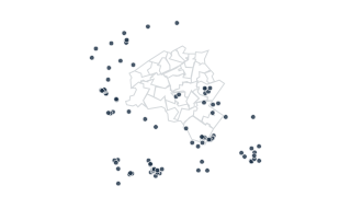
Certified Vernal Pools - Massachusetts
NHESP Certified Vernal Pools
 Lines
Parks & Open Space
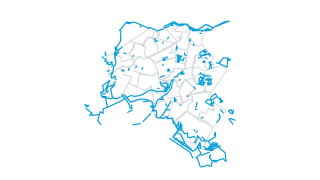
Trails
Trails - City of Newton MA
 Areas
Property & Zoning
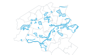
Historic Districts
Historic Districts as established by the City of Newton, Massachusetts
 Areas
Schools & Community
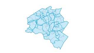
School Districts
School Districts, City of Newton, Massachusetts
 Points
Schools & Community
Schools
Schools - Newton, Massachusetts
 Areas
City Services
Snow Plowing Routes
Snow plowing routes - City of Newton, MA
 Areas
Environment
Surface Water
Surface Waters - Newton, Massachusetts. This data layer contains ponds and the Charles River in and around Newton. Previously in support of regional mapping, Newton maintained two separate surface water layers; one originally from Boston Ed
 Areas
Environment
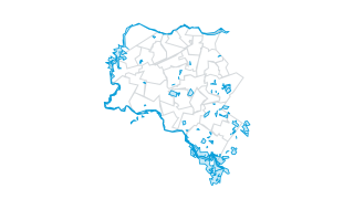
Wetland Buffers
100 foot buffers around wetlands
 Areas
Environment
Wetlands
This layer shows wetlands in Newton. These were originally mapped by the state Department of Environmental Protection (DEP). Some of the wetlands have been updated after site visits and where wetlands have been marked with flags, the bounda
 Lines
Transportation
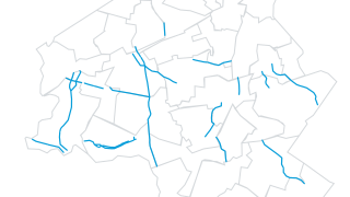
Scenic Roads
Designated Scenic Roads - Newton, Massachusetts. Properties along these roadways are subject to City Ordinance Newton Rev. Ord. Sec. 20-40 (f)(6) describing what types of fencing are allowed along the front lot line of the property.
 Lines
City Services
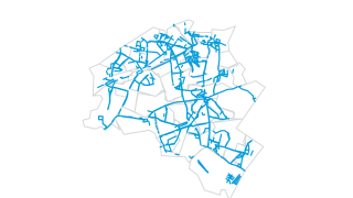
Sidewalk Plowing Routes
Sidewalk snow plowing routes - City of Newton, MA
 Lines
Transportation
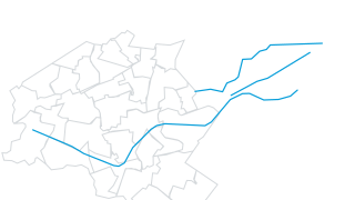
MBTA Rapid Transit Lines
MBTA Rapid Transit lines and stations
 Points
Transportation
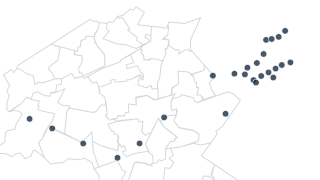
MBTA Rapid Transit Stops
MBTA Rapid Transit lines and stations
 Lines
Transportation
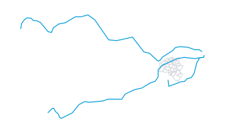
MBTA Commuter Rail Lines
MBTA Commuter Rail lines and stations
 Points
Transportation
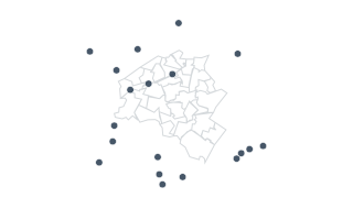
MBTA Commuter Rail Stations
MBTA Commuter Rail lines and stations
 Points
Transportation
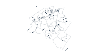
Parking Spaces
Regulated parking spaces in the City of Newton. This includes meters and handicapped spaces.
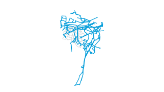 Lines
Transportation
MBTA Bus Routes
MBTA Bus Routes and Stops
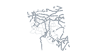 Points
Transportation
MBTA Bus Stops
MBTA Bus Routes and Stops
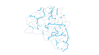 Lines
Environment
Streams
This data layer contains streams in Newton. Streams are generally narrow enough bodies of water to be represented as single lines at most mapping scales. Most streams in Newton run through underground drainage pipes for much of their length
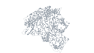 Points
Public Safety
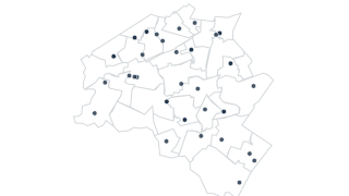
Fire Boxes
Fire boxes in Newton, Massachusetts. Locations are imprecise - usually placed on buildings but not necessarily on the correct part of the building
 Points
City Services
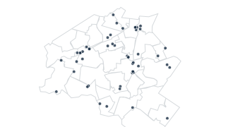
Polling Locations
Polling Locations, City of Newton, Massachusetts
 Points
Schools & Community
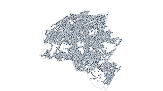
Religious Institutions
Religious Institutions in Newton, Massachusetts.
 Points
City Services
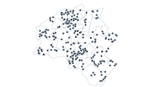
Utility Poles
Utility Poles - Newton, Massachusetts
 Points
Schools & Community
School Bus Stops
School Bus Stops, City of Newton, Massachusetts
 Points
Transportation
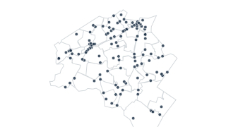
Traffic Signals
Traffic signals - Newton, Massachusetts
 Points
Transportation
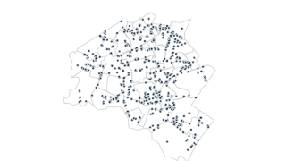
Traffic Signs
Traffic signs - Newton, Massachusetts
 Points
City Services
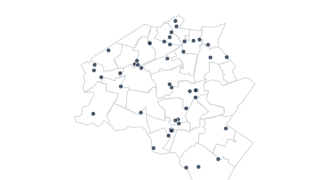
City Facilities
City facilities in Newton, Massachusetts. Includes schools, libraries, parks, community centers, police and fire stations
 Areas
Property & Zoning
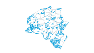
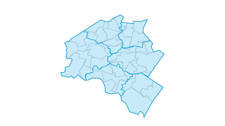
Parcels
Property boundaries for the City of Newton
 Areas
Public Safety
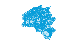
Fire Districts
Fire response districts-City of Newton, Massachusetts
 Areas
Property & Zoning
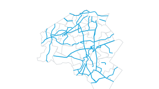
Zoning
Official zoning layer for the City of Newton
 Lines
Transportation
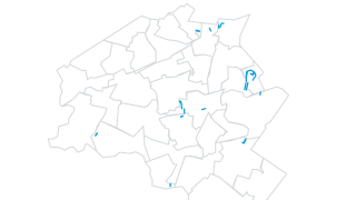
Bicycle Network
Bicycle Network- Newton, Massachusetts
 Lines
Transportation
Parking Permit Streets
Parking Permit Streets - Newton, Massachusetts
 Lines
Transportation
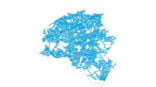
Street Center Lines
Street Center Lines - Newton, Massachusetts
 Points
Boundaries & Demographics
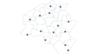
Villages
Village centers for the City of Newton, MA. There are no village boundaries in Newton, they do not serve any administrative function. Some villages have mroe clearly defined centers than others. These locations are the best approximations o
 Areas
Parks & Open Space
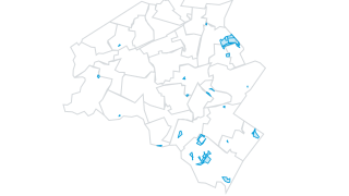
Conservation Restrictions
Conservation restrictions in Newton, MA
 Areas
Parks & Open Space
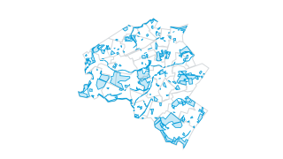
Open Space
Conservation and recreation lands in the City of Newton
 Points
Property & Zoning
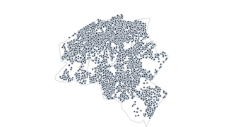
Addresses
Address points for the City of Newton
 Areas
Property & Zoning
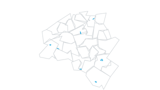
Buildings
Building outlines for the City of Newton
 Areas
Property & Zoning
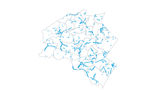
Easements
Public easements for the City of Newton
 Areas
Property & Zoning
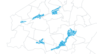
Zoning - Village Center Overlay Districts
Three village center overlay districts were approved by the Newton City Council in 2023. These districts were created to target higher density housing near village centers and public transit.
 Areas
Transportation
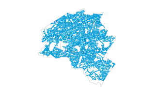
Streets-Pavement
Streets - edge of pavement or curblines