
Welcome to the
Newton Open Data
Find, explore and query the City's public data: parcels, zoning, trash and recycling routes, snow plowing, trails, MBTA stops and more.
- 57
- Datasets
- 142,370
- Records
- 8
- Categories
Synced from the City's ArcGIS Hub on Nov 5, 2026
What’s at my address?
Your trash and recycling day, your ward and school districts, your zoning, and the nearest park and Green Line stop.
Browse by category
Every public dataset from the City's ArcGIS Hub, grouped by topic.
Newton in layers
Villages, open space, ponds, trails, bike routes, schools and Green Line stops, drawn straight from the City’s published data. Pick a layer to open it, or combine any of them on the map.
Open the mapNewton in layers
drawn from this portal’s dataData story
Trash day in Newton
25 routes, five days, 29,517 addresses. We combined the City’s garbage routes with its address points and villages to see how the week is shared out.
Read the story →Popular datasets
Open any dataset to preview it as a table or map, query it, and download it in the format you need.
 Areas
City Services
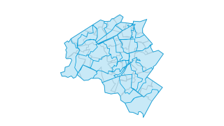
Garbage Routes
Trash and recycling collection routes - City of Newton, MA
 Areas
Property & Zoning
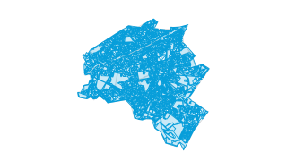
Zoning
Official zoning layer for the City of Newton
 Areas
Property & Zoning
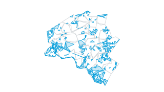
Parcels
Property boundaries for the City of Newton
 Areas
City Services
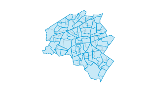
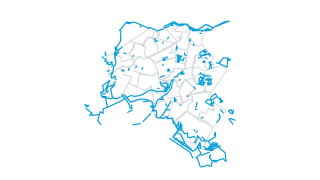
Snow Plowing Routes
Snow plowing routes - City of Newton, MA
 Lines
Parks & Open Space
Trails
Trails - City of Newton MA
 Points
Schools & Community
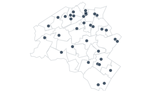
Schools
Schools - Newton, Massachusetts
Recently updated
 Points
Transportation
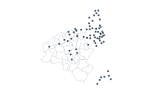
Blue Bike Stations
Stations of the BlueBike bike share network. Data from Commonwealth of Massachusetts and Boston GIS
 Areas
Environment
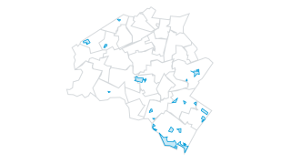
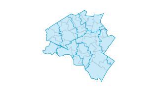
Wetland Restrictions
This data layer shows all areas in the City of Newton that are registered with the Commonwealth of Massachusetts under the Inland Wetlands Restriction Act (M.G.L. c. 131, § 40A.) The restrictive orders for these wetlands have been recorded
 Areas
Boundaries & Demographics
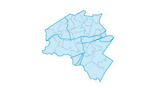
Zip Codes
Zip Codes, City of Newton, Massachusetts. While zip codes do not always correspond to exact geographic areas, this is an accurate description of the location of Newton's zip codes.
 Areas
City Services
Inspection Districts
Inspection Districts, City of Newton, Massachusetts
 Lines
Transportation
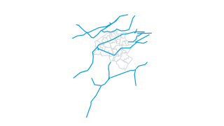
Railroads
The layer includes active passenger, freight, and MBTA Commuter Rail and Rapid Transit railways, along with abandoned rail lines. In many instances there is more than one track per rail line, and rail yards and spurs are included. The Centr
AreasCity Services
Garbage Routes
Trash and recycling collection routes - City of Newton, MA
Using the data
Free to reuse
The City publishes this data under its Open Data Portal Terms of Use. Please read them before you reuse the data.
Find and use a dataset
Search by name or browse by category. Tables open in a sortable, filterable preview you can query with SQL; map layers open on a map. Everything downloads as CSV, and connects to the live ArcGIS service.
Missing something?
Ask the City’s open data team at gisinfo@newtonma.gov, or make a public records request.
Reports and City tools
The City also publishes these reports and tools.
- City maps for download
Printable PDF maps: wards and precincts, zoning, villages, parks and more.
- GIS at the City of Newton
The City’s GIS team, its interactive web maps, and how to request custom maps.
- GIS data dictionary
Field-by-field descriptions of the City’s GIS layers (Word document).
- Newton 311
Report a pothole, an overflowing bin or a downed limb, by web, app or phone.
Your ArcGIS stays the source
Nothing changes for the City’s GIS and open data team. Data keeps being managed in ArcGIS; this site reads it, can refresh on a schedule, and gives residents a faster way in: search across every dataset, tables and maps that load instantly, and queries that run in the browser.